
So the East River ferry’s only service to Brooklyn is at North 6th Street. This is working out great.
Greenpoint Ferry Landing Closed “Until Further Notice”
No L Train Shutdown Might Mean Worse Commutes Longterm
“Two-thirds of the survey respondents rated the city’s management of the plans as ‘mostly terrible.'”
Not just the City’s management, though it is the City that could do a lot of the surface transit changes that would actually benefit New York (not just L train riders) for years to come.
“We Have Not Figured Out Exactly How to Handle That”
“We have not figured out exactly how to handle that” is a quote from MTA Managing Director Ronnie Hakim about overcrowding on the First Avenue and Third Avenue platforms specifically, but it might as well be the mantra of MTA and City DOT when it comes to the new plan to fix the L train tunnel. Most of the surface transit mitigation that was in place for the L train shutdown is off the table (read: the City isn’t doing anything) and the MTA doesn’t really know what additional service it will run for the down times. Service will start to get reduced around 8 p.m. on weeknights, and trains will run with (minimum) 20-minute weekends.
Luckily, very few people go to north Brooklyn on nights and weekends, so it should all work out just fine.
LongPoint Bridge Connecting Greenpoint to Long Island City Gains Momentum
I’ve always wanted to see this connection between Greenpoint and Hunter’s Point reestablished. The article mentions the Vernon Avenue Bridge (see below), which was constructed in 1905. But a bridge connecting Manhattan Avenue to Vernon Avenue was in place at least as far back as the mid-1850s, when Greenpoint and Hunter’s Point were being developed. Eliphalet Nott was involved in the development of both neighborhoods, which is apparent looking at the very similar building stock in both areas.
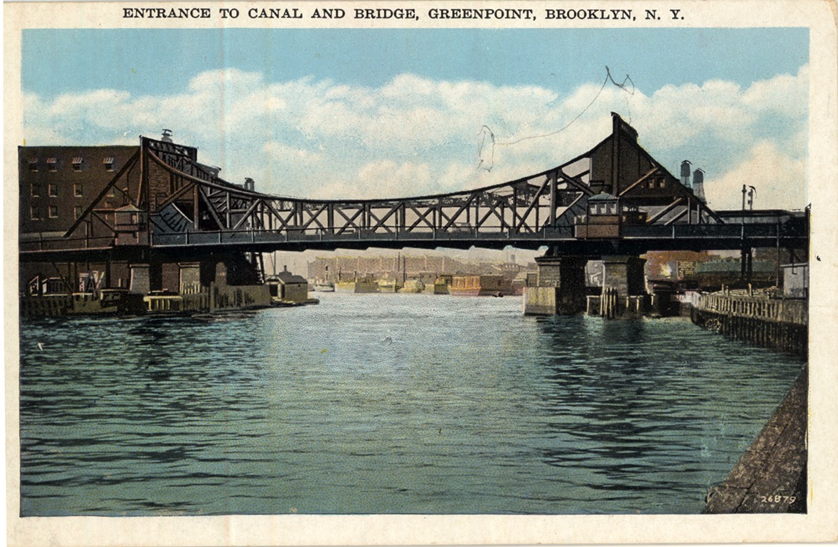
Vernon Avenue Bridge, 1905
Credit: Novelty Theater